
Map of Buildings Used by the BC Security Commission, 1942
NNM 1994.69.3.1
Proposed uses for each building and capacity are written onto the map. The building use sometimes changed. For example, building K is shown as empty, but later became the men’s dormitory. Building H was initially used by the men, then later by women.
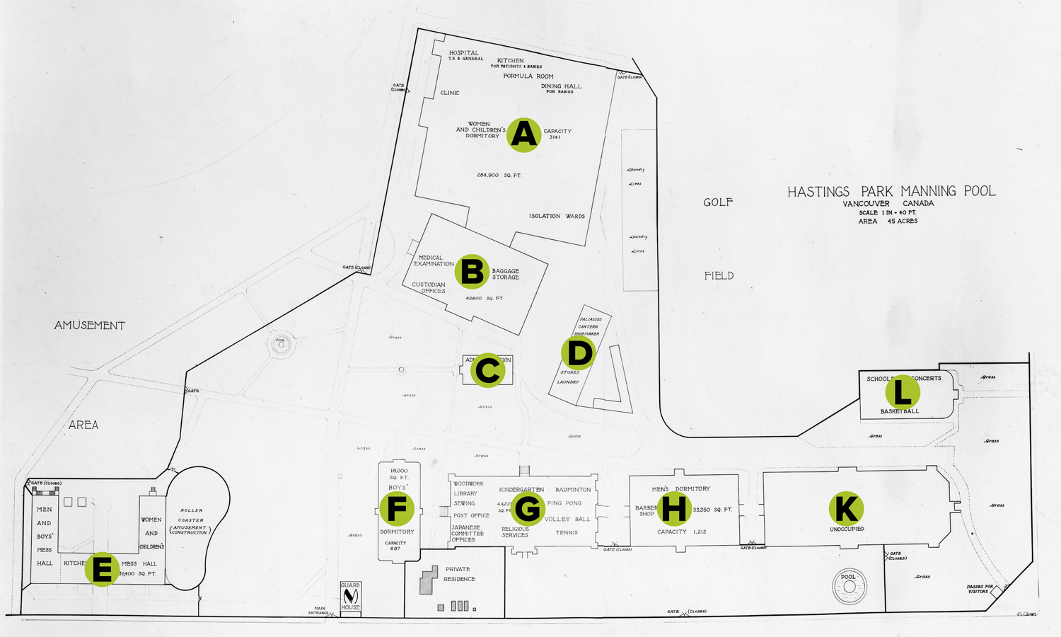
BUILDING A - Livestock Building built in 1929, with an addition in 1939
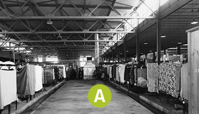
BUILDING B – Stock Judging or Horseshow Building no longer standing
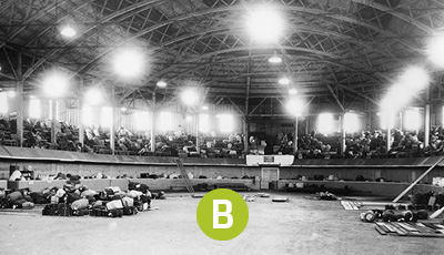
BUILDING C – Administration Offices no longer standing
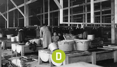
BUILDING D – Church Dining Hall no longer standing
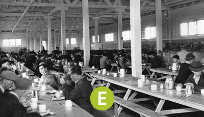
BUILDING E – Industrial Building - Mess Halls no longer standing
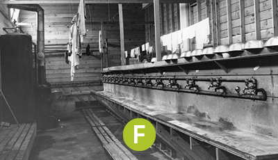
BUILDING F – Rollerland sometimes called the Women’s Building or Pure Foods – built in 1931
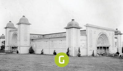
BUILDING G – Manufacturer’s Building sometimes called Showmart – no longer standing
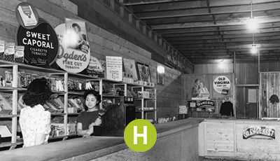
BUILDING H sometimes called the Foods building – no longer standing
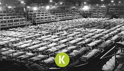
BUILDING K – Forum built 1931 – used as a hockey rink before the war
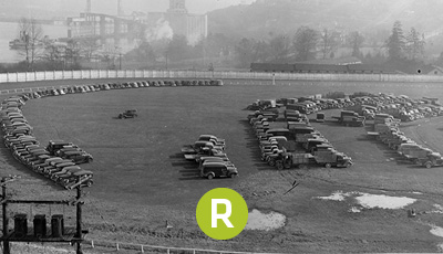
CVA 1123-1 Photo by Stuart Thompson
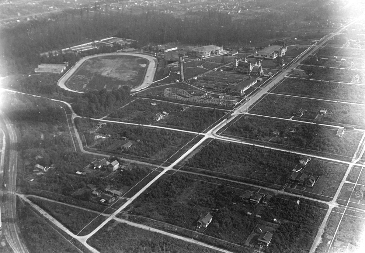
CVA 180-1468
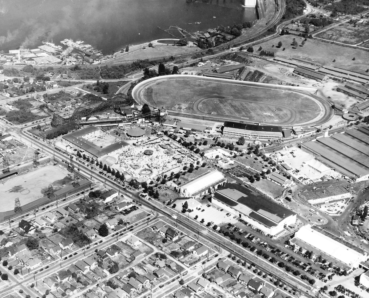
CVA 180-5233